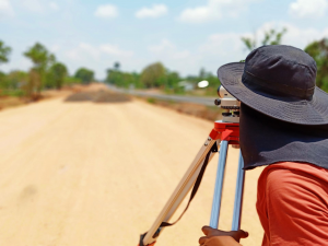
The end goal of our topology service is to be the basis in the development of a project.
This is accomplished by the development of topographic studies in different stages of the project, from the planification to the construction. In such a manner, we compare and assess the progress of the project, contributing to use it as a measure of quality control of the project.
The topography is also used as a key tool in numeric modeling, the production of maps or building plans.
