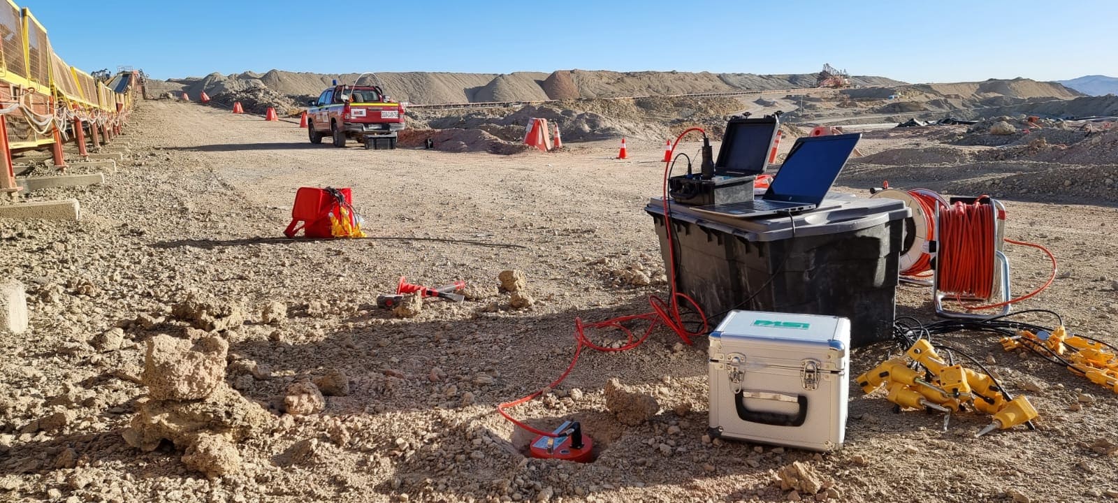
Spectral ratio H/V (Nakamura Method), SPAC (Spatial Autocorrelations) and F-K 2D (Frequency – Number of waves), Seismic refraction tomography, MASW (Multichannel analysis of Surface Waves) and vertical electrical sounding.

Spectral ratio H/V (Nakamura Method), SPAC (Spatial Autocorrelations) and F-K 2D (Frequency – Number of waves), Seismic refraction tomography, MASW (Multichannel analysis of Surface Waves) and vertical electrical sounding.

ReMi (Refractions of Microtremors), Interferometro with Synthetic Aperture Radar (InSAR), geological satellite mapping and remote sensing and Geological field studies.

Topography, soil and rock mechanics studies, laboratory and in-situ tests, quality control services, geotechnical characterization and foundation design, solutions that adjust customer requirements.

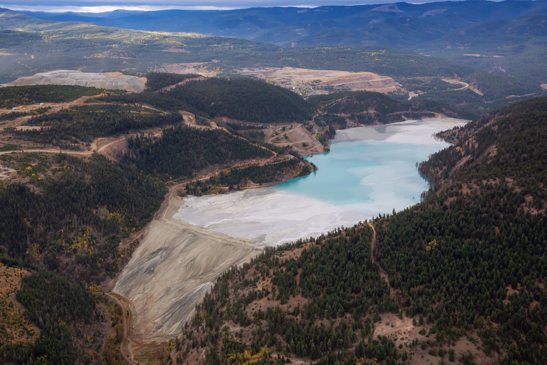
Our main services are: Foundation Infrastructure, Geotechnical and Geological Mapping, geotechnical design of tailings dams, stability analysis in leaching piles, ROM piles and mining ballast dumps.

EGSciences provides technical solutions in Geotechnical Engineering focused on civil engineering projects and mining industry. In terms of surface mining geotechnics, there is noteworthy service on infrastructure foundations, design and stability of ROM piles, waste rock dumps and rockfill embankment for tailings deposits.
In the civil engineering area, our services are focused on foundations, geotechnical quality controls and geotechnical support during construction. It also has the expertise in basic and specialized characterization tests, both laboratory and in situ.
Finally, we offer our clients excellence in services and solutions in geotechnical engineering on coarse granular soils and rockfill materials, focused on geotechnical characterization, evaluation of shear strength properties and deformation parameters, including both static and seismic conditions.


